Where is Ford County, Illinois?
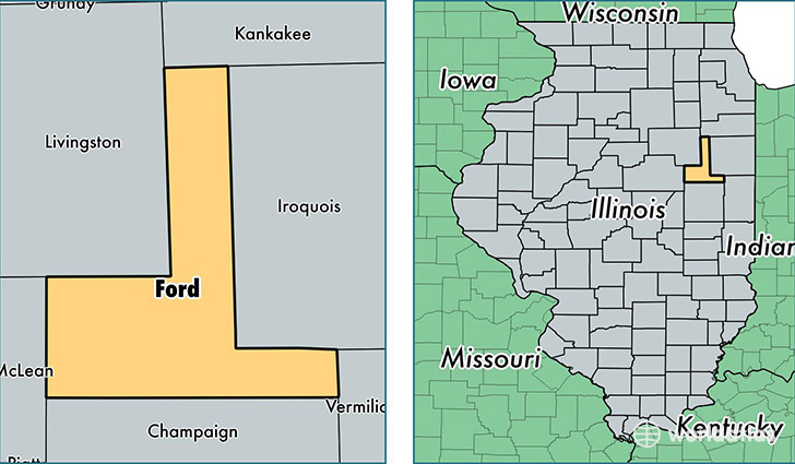
Ford County is a county equivalent area found in Illinois, USA. The county government of Ford is found in the county seat of Paxton.
With a total 1,259.36 sq. km of land and water area, Ford County, Illinois is the 2225th largest county equivalent area in the United States. Home to 13,688 people, Ford County has a total 6277 households earning 48866 on average per year.
Ford County, Illinois - Quick Facts
| FIPS Code | 17053 |
| Area Codes | 217,815 |
| Time Zone | CST |
| Major Cities | Paxton (population: 5,587), Gibson City (population: 4,299), Piper City (population: 1,076), Melvin (population: 680), Roberts (population: 521), Sibley (population: 474), Kempton (population: 423), Elliott (population: 300) |
| Land Area | 5,285 sq miles |
| Water Area | 486 sq miles |
| Household Income | $48,866 |
| Housing Units | 6,277 |
| Median Home Value | $89,600 |
| High School Grads | 89% of population |
| Holders of Bachelors Degrees | 16% of population |
| Retail Spending | $7,990 per capita |
| Food & Accomodation Sales | $11,430 per capita |
This page was last updated on June 30, 2016.