Where is McDonough County, Illinois?
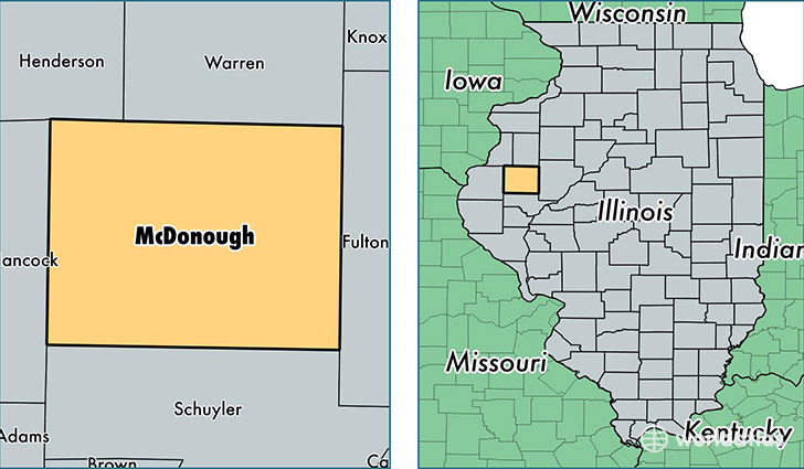
McDonough County is a county equivalent area found in Illinois, USA. The county government of McDonough is found in the county seat of Macomb.
With a total 1,528.57 sq. km of land and water area, McDonough County, Illinois is the 1781st largest county equivalent area in the United States. Home to 31,880 people, McDonough County has a total 14359 households earning 36031 on average per year.
McDonough County, Illinois - Quick Facts
| FIPS Code | 17109 |
| Area Codes | 309 |
| Time Zone | CST |
| Major Cities | Macomb (population: 22,035), Bushnell (population: 3,408), Colchester (population: 2,472), Blandinsville (population: 1,063), Vermont (population: 816), Industry (population: 763), Good Hope (population: 758), Prairie City (population: 545), Adair (population: 377), Tennessee (population: 296) |
| Land Area | 12,309 sq miles |
| Water Area | 590 sq miles |
| Household Income | $36,031 |
| Housing Units | 14,359 |
| Median Home Value | $86,400 |
| High School Grads | 92% of population |
| Holders of Bachelors Degrees | 33% of population |
| Retail Spending | $10,221 per capita |
| Food & Accomodation Sales | $52,785 per capita |
This page was last updated on June 30, 2016.