Where is Calhoun County, Illinois?
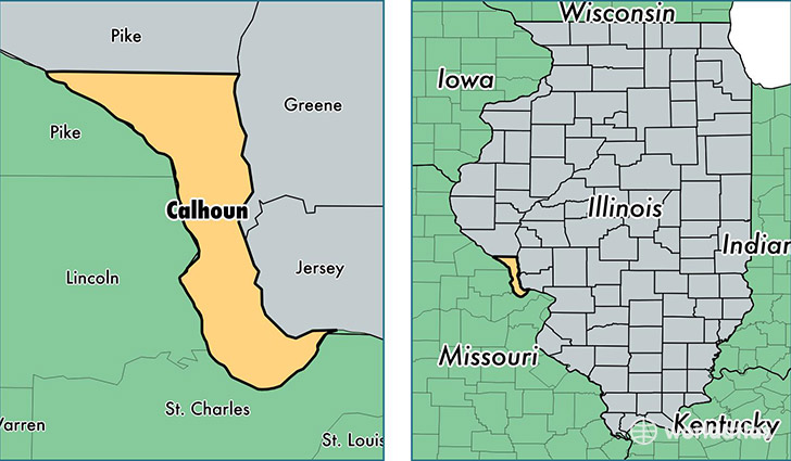
Calhoun County is a county equivalent area found in Illinois, USA. The county government of Calhoun is found in the county seat of Hardin.
With a total 734.46 sq. km of land and water area, Calhoun County, Illinois is the 2883rd largest county equivalent area in the United States. Home to 4,956 people, Calhoun County has a total 2822 households earning 50436 on average per year.
Calhoun County, Illinois - Quick Facts
| FIPS Code | 17013 |
| Area Codes | 618 |
| Time Zone | CST |
| Major Cities | Hardin (population: 1,532), Golden Eagle (population: 693), Kampsville (population: 640), Batchtown (population: 638), Hamburg (population: 637), Brussels (population: 543), Michael (population: 95), Mozier (population: 36) |
| Land Area | 1,914 sq miles |
| Water Area | 254 sq miles |
| Household Income | $50,436 |
| Housing Units | 2,822 |
| Median Home Value | $112,300 |
| High School Grads | 89% of population |
| Holders of Bachelors Degrees | 14% of population |
| Retail Spending | $4,376 per capita |
| Food & Accomodation Sales | $5,376 per capita |
This page was last updated on June 30, 2016.