Cassia County, ID, USA
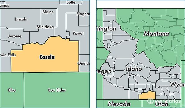
Cassia County is a county equivalent area found in Idaho, USA. The county government of Cassia is found in the county seat of Burley.
With a total 6,682.89 sq. km of land and water area, Cassia County, Idaho is the 222nd largest county equivalent area in the United States. Home to 23,540 people, Cassia County has a total 8360 households earning 42039 on average per year.
Cassia County, Idaho offers the following attraction to visitors: City of Rocks National Reserve
Cassia County, Idaho - Quick Facts
| FIPS Code | 16031 |
| Area Codes | 208 |
| Time Zone | MST |
| Major Cities | Burley (population: 17,443), Declo (population: 1,976), Oakley (population: 1,460), Malta (population: 1,386), Albion (population: 569), Almo (population: 169) |
| Land Area | 9,089 sq miles |
| Water Area | 2,565 sq miles |
| Household Income | $42,039 |
| Housing Units | 8,360 |
| Median Home Value | $125,900 |
| High School Grads | 78% of population |
| Holders of Bachelors Degrees | 16% of population |
| Retail Spending | $15,216 per capita |
| Food & Accomodation Sales | $33,455 per capita |