Where is Twin Falls County, Idaho?
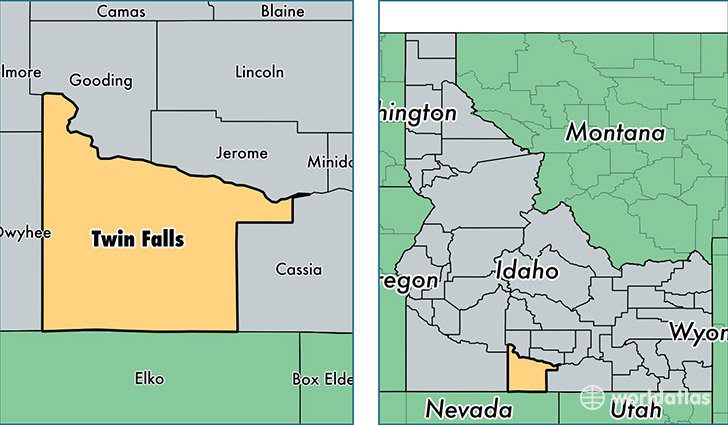
Twin Falls County is a county equivalent area found in Idaho, USA. The county government of Twin Falls is found in the county seat of Twin Falls.
With a total 4,994.33 sq. km of land and water area, Twin Falls County, Idaho is the 332nd largest county equivalent area in the United States. Home to 80,914 people, Twin Falls County has a total 31394 households earning 43886 on average per year.
Twin Falls County, Idaho offers the following attraction to visitors: Hagerman Fossil Beds NM
Twin Falls County, Idaho - Quick Facts
| FIPS Code | 16083 |
| Area Codes | 208 |
| Time Zone | MST |
| Major Cities | Twin Falls (population: 52,928), Buhl (population: 9,794), Kimberly (population: 6,605), Filer (population: 5,441), Hansen (population: 2,096), Murtaugh (population: 1,146), Castleford (population: 559), Rogerson (population: 198) |
| Land Area | 31,241 sq miles |
| Water Area | 1,921 sq miles |
| Household Income | $43,886 |
| Housing Units | 31,394 |
| Median Home Value | $148,900 |
| High School Grads | 84% of population |
| Holders of Bachelors Degrees | 16% of population |
| Retail Spending | $17,270 per capita |
| Food & Accomodation Sales | $112,044 per capita |
This page was last updated on June 30, 2016.