Where is Oneida County, Idaho?
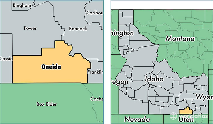
Oneida County is a county equivalent area found in Idaho, USA. The county government of Oneida is found in the county seat of Malad City.
With a total 3,111.94 sq. km of land and water area, Oneida County, Idaho is the 585th largest county equivalent area in the United States. Home to 4,184 people, Oneida County has a total 1925 households earning 40842 on average per year.
Oneida County, Idaho - Quick Facts
| FIPS Code | 16071 |
| Area Codes | 208 |
| Time Zone | MST |
| Major Cities | Malad City (population: 4,085), Holbrook (population: 78) |
| Land Area | 1,615 sq miles |
| Water Area | 1,200 sq miles |
| Household Income | $40,842 |
| Housing Units | 1,925 |
| Median Home Value | $126,100 |
| High School Grads | 93% of population |
| Holders of Bachelors Degrees | 13% of population |
| Retail Spending | $5,834 per capita |
| Food & Accomodation Sales | $2,135 per capita |
This page was last updated on June 30, 2016.