Where is Page County, Iowa?
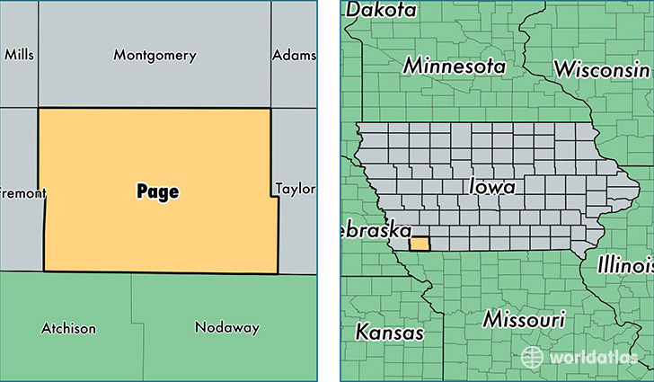
Page County is a county equivalent area found in Iowa, USA. The county government of Page is found in the county seat of Clarinda.
With a total 1,386.86 sq. km of land and water area, Page County, Iowa is the 2053rd largest county equivalent area in the United States. Home to 15,496 people, Page County has a total 7174 households earning 43010 on average per year.
Page County, Iowa - Quick Facts
| FIPS Code | 19145 |
| Area Codes | 712 |
| Time Zone | CST |
| Major Cities | Clarinda (population: 7,196), Shenandoah (population: 5,935), Essex (population: 1,281), Coin (population: 399), Braddyville (population: 301), College Springs (population: 211), Blanchard (population: 170), Northboro (population: 139), Yorktown (population: 70) |
| Land Area | 5,983 sq miles |
| Water Area | 535 sq miles |
| Household Income | $43,010 |
| Housing Units | 7,174 |
| Median Home Value | $77,700 |
| High School Grads | 89% of population |
| Holders of Bachelors Degrees | 17% of population |
| Retail Spending | $10,243 per capita |
| Food & Accomodation Sales | $12,573 per capita |
This page was last updated on June 30, 2016.