Where is Clayton County, Iowa?
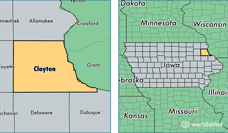
Clayton County is a county equivalent area found in Iowa, USA. The county government of Clayton is found in the county seat of Elkader.
With a total 2,052.99 sq. km of land and water area, Clayton County, Iowa is the 1195th largest county equivalent area in the United States. Home to 17,692 people, Clayton County has a total 8993 households earning 47494 on average per year.
Clayton County, Iowa - Quick Facts
| FIPS Code | 19043 |
| Area Codes | 563 |
| Time Zone | CST |
| Major Cities | Guttenberg (population: 3,089), Monona (population: 2,295), Elkader (population: 2,283), Strawberry Point (population: 2,258), Edgewood (population: 1,970), McGregor (population: 1,798), Garnavillo (population: 1,249), Colesburg (population: 996), Luana (population: 649), Farmersburg (population: 557) |
| Land Area | 6,831 sq miles |
| Water Area | 778 sq miles |
| Household Income | $47,494 |
| Housing Units | 8,993 |
| Median Home Value | $102,400 |
| High School Grads | 92% of population |
| Holders of Bachelors Degrees | 16% of population |
| Retail Spending | $9,249 per capita |
| Food & Accomodation Sales | $53,722 per capita |
This page was last updated on June 30, 2016.