Where is Butler County, Iowa?
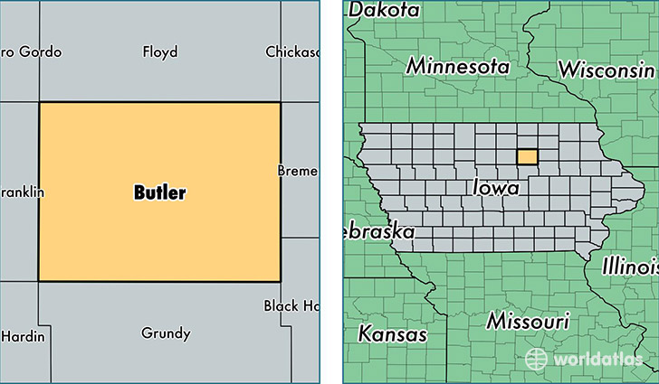
Butler County is a county equivalent area found in Iowa, USA. The county government of Butler is found in the county seat of Allison.
With a total 1,506.75 sq. km of land and water area, Butler County, Iowa is the 1821st largest county equivalent area in the United States. Home to 15,006 people, Butler County has a total 6696 households earning 52026 on average per year.
Butler County, Iowa - Quick Facts
| FIPS Code | 19023 |
| Area Codes | 319,641 |
| Time Zone | CST |
| Major Cities | Parkersburg (population: 2,860), Clarksville (population: 2,429), Shell Rock (population: 2,040), Greene (population: 1,991), Aplington (population: 1,863), Allison (population: 1,615), New Hartford (population: 1,342), Dumont (population: 1,010), Bristow (population: 395), Aredale (population: 168) |
| Land Area | 5,794 sq miles |
| Water Area | 580 sq miles |
| Household Income | $52,026 |
| Housing Units | 6,696 |
| Median Home Value | $100,400 |
| High School Grads | 91% of population |
| Holders of Bachelors Degrees | 15% of population |
| Retail Spending | $5,407 per capita |
This page was last updated on June 30, 2016.