Where is Stephens County, Georgia?
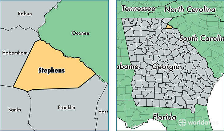
Stephens County is a county equivalent area found in Georgia, USA. The county government of Stephens is found in the county seat of Toccoa.
With a total 477.07 sq. km of land and water area, Stephens County, Georgia is the 3045th largest county equivalent area in the United States. Home to 25,480 people, Stephens County has a total 12452 households earning 37898 on average per year.
Stephens County, Georgia - Quick Facts
| FIPS Code | 13257 |
| Area Codes | 706 |
| Time Zone | EST |
| Major Cities | Toccoa (population: 21,999), Martin (population: 4,926), Eastanollee (population: 2,823), Toccoa Falls (population: 560) |
| Land Area | 9,838 sq miles |
| Water Area | 179 sq miles |
| Household Income | $37,898 |
| Housing Units | 12,452 |
| Median Home Value | $106,600 |
| High School Grads | 80% of population |
| Holders of Bachelors Degrees | 14% of population |
| Retail Spending | $10,895 per capita |
| Food & Accomodation Sales | $26,220 per capita |
This page was last updated on June 30, 2016.