Where is Meriwether County, Georgia?
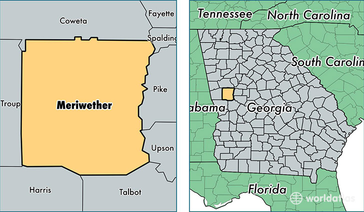
Meriwether County is a county equivalent area found in Georgia, USA. The county government of Meriwether is found in the county seat of Greenville.
With a total 1,309. sq. km of land and water area, Meriwether County, Georgia is the 2158th largest county equivalent area in the United States. Home to 21,198 people, Meriwether County has a total 9862 households earning 37333 on average per year.
Meriwether County, Georgia - Quick Facts
| FIPS Code | 13199 |
| Area Codes | 706,770 |
| Time Zone | EST |
| Major Cities | Manchester (population: 5,884), Greenville (population: 3,909), Woodbury (population: 2,883), Luthersville (population: 2,265), Warm Springs (population: 2,123), Gay (population: 1,909) |
| Land Area | 8,185 sq miles |
| Water Area | 501 sq miles |
| Household Income | $37,333 |
| Housing Units | 9,862 |
| Median Home Value | $91,200 |
| High School Grads | 73% of population |
| Holders of Bachelors Degrees | 9% of population |
| Retail Spending | $4,421 per capita |
| Food & Accomodation Sales | $14,833 per capita |
This page was last updated on June 30, 2016.