Where is Douglas County, Georgia?
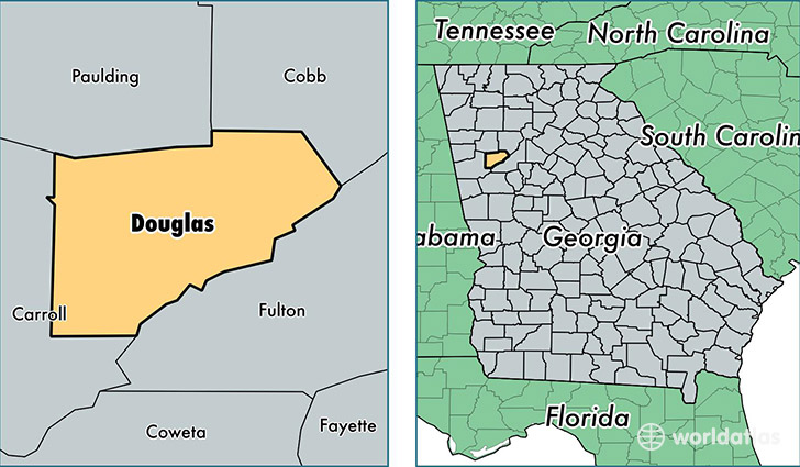
Douglas County is a county equivalent area found in Georgia, USA. The county government of Douglas is found in the county seat of Douglasville.
With a total 520.78 sq. km of land and water area, Douglas County, Georgia is the 3018th largest county equivalent area in the United States. Home to 138,776 people, Douglas County has a total 51577 households earning 52691 on average per year.
Douglas County, Georgia - Quick Facts
| FIPS Code | 13097 |
| Area Codes | 770 |
| Time Zone | EST |
| Major Cities | Douglasville (population: 106,593), Lithia Springs (population: 21,816), Winston (population: 8,843) |
| Land Area | 53,582 sq miles |
| Water Area | 200 sq miles |
| Household Income | $52,691 |
| Housing Units | 51,577 |
| Median Home Value | $135,700 |
| High School Grads | 87% of population |
| Holders of Bachelors Degrees | 24% of population |
| Retail Spending | $16,536 per capita |
| Food & Accomodation Sales | $212,285 per capita |
This page was last updated on June 30, 2016.