Where is Carroll County, Georgia?
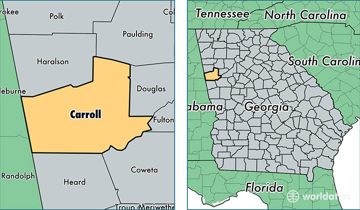
Carroll County is a county equivalent area found in Georgia, USA. The county government of Carroll is found in the county seat of Carrollton.
With a total 1,304.78 sq. km of land and water area, Carroll County, Georgia is the 2166th largest county equivalent area in the United States. Home to 114,093 people, Carroll County has a total 44360 households earning 46147 on average per year.
Carroll County, Georgia - Quick Facts
| FIPS Code | 13045 |
| Area Codes | 770 |
| Time Zone | EST |
| Major Cities | Carrollton (population: 60,393), Villa Rica (population: 34,630), Temple (population: 16,961), Bowdon (population: 7,319), Whitesburg (population: 3,929), Waco (population: 2,663) |
| Land Area | 44,052 sq miles |
| Water Area | 499 sq miles |
| Household Income | $46,147 |
| Housing Units | 44,360 |
| Median Home Value | $118,500 |
| High School Grads | 80% of population |
| Holders of Bachelors Degrees | 18% of population |
| Retail Spending | $11,190 per capita |
| Food & Accomodation Sales | $142,419 per capita |
This page was last updated on June 30, 2016.