Where is Duval County, Florida?
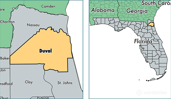
Duval County is a county equivalent area found in Florida, USA. The county government of Duval is found in the county seat of Jacksonville.
With a total 2,378.8 sq. km of land and water area, Duval County, Florida is the 899th largest county equivalent area in the United States. Home to 897,698 people, Duval County has a total 392604 households earning 48323 on average per year.
Duval County, Florida offers the following attraction to visitors: Fort Caroline NMEM
Duval is the home to this professional sports team: Jags (NFL)
Duval County, Florida - Quick Facts
| FIPS Code | 12031 |
| Area Codes | 904 |
| Time Zone | EST |
| Major Cities | Jacksonville (population: 824,863), Jacksonville Beach (population: 25,806), Atlantic Beach (population: 24,093), Neptune Beach (population: 7,161) |
| Land Area | 346,603 sq miles |
| Water Area | 763 sq miles |
| Household Income | $48,323 |
| Housing Units | 392,604 |
| Median Home Value | $151,400 |
| High School Grads | 88% of population |
| Holders of Bachelors Degrees | 26% of population |
| Retail Spending | $15,688 per capita |
| Food & Accomodation Sales | $1,719,352 per capita |
| Universities and Colleges | University of North Florida, Everest University-Jacksonville, Trendsetters School of Beauty & Barbering |
This page was last updated on June 30, 2016.