Where is Clay County, Florida?
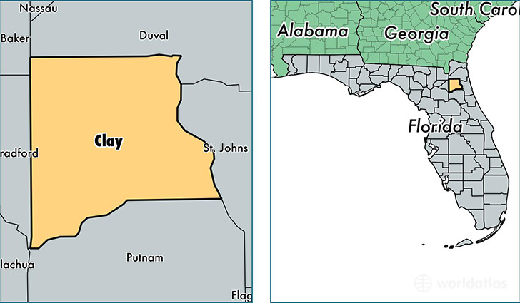
Clay County is a county equivalent area found in Florida, USA. The county government of Clay is found in the county seat of Green Cove Springs.
With a total 1,666.78 sq. km of land and water area, Clay County, Florida is the 1595th largest county equivalent area in the United States. Home to 199,798 people, Clay County has a total 76358 households earning 59482 on average per year.
Clay County, Florida - Quick Facts
| FIPS Code | 12019 |
| Area Codes | 904,352 |
| Time Zone | EST |
| Major Cities | Orange Park (population: 72,996), Middleburg (population: 51,741), Fleming Island (population: 27,620), Green Cove Springs (population: 25,075), Keystone Heights (population: 14,177), Penney Farms (population: 440) |
| Land Area | 77,142 sq miles |
| Water Area | 605 sq miles |
| Household Income | $59,482 |
| Housing Units | 76,358 |
| Median Home Value | $158,600 |
| High School Grads | 90% of population |
| Holders of Bachelors Degrees | 24% of population |
| Retail Spending | $10,997 per capita |
| Food & Accomodation Sales | $213,775 per capita |
| Universities and Colleges | Everest University-Orange Park |
This page was last updated on June 30, 2016.