Where is Charlotte County, Florida?
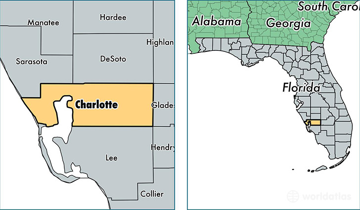
Charlotte County is a county equivalent area found in Florida, USA. The county government of Charlotte is found in the county seat of Punta Gorda.
With a total 2,222.84 sq. km of land and water area, Charlotte County, Florida is the 1072nd largest county equivalent area in the United States. Home to 168,474 people, Charlotte County has a total 100664 households earning 44378 on average per year.
Charlotte County, Florida - Quick Facts
| FIPS Code | 12015 |
| Area Codes | 941 |
| Time Zone | EST |
| Major Cities | Port Charlotte (population: 69,745), Punta Gorda (population: 65,250), Englewood (population: 15,631), Rotonda West (population: 8,306), Placida (population: 2,157) |
| Land Area | 65,048 sq miles |
| Water Area | 681 sq miles |
| Household Income | $44,378 |
| Housing Units | 100,664 |
| Median Home Value | $143,700 |
| High School Grads | 89% of population |
| Holders of Bachelors Degrees | 21% of population |
| Retail Spending | $12,072 per capita |
| Food & Accomodation Sales | $178,021 per capita |
This page was last updated on June 30, 2016.