Where is Otero County, Colorado?
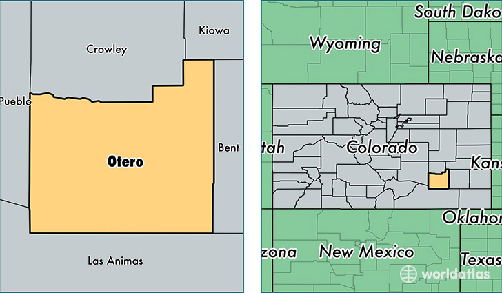
Otero County is a county equivalent area found in Colorado, USA. The county government of Otero is found in the county seat of La Junta.
With a total 3,288.54 sq. km of land and water area, Otero County, Colorado is the 545th largest county equivalent area in the United States. Home to 18,488 people, Otero County has a total 8866 households earning 33848 on average per year.
Otero County, Colorado offers the following attraction to visitors: Bent's Old Fort NHS
Otero County, Colorado - Quick Facts
| FIPS Code | 8089 |
| Area Codes | 719 |
| Time Zone | MST |
| Major Cities | La Junta (population: 9,822), Rocky Ford (population: 5,629), Fowler (population: 1,842), Manzanola (population: 977), Swink (population: 528), Cheraw (population: 191) |
| Land Area | 7,138 sq miles |
| Water Area | 1,262 sq miles |
| Household Income | $33,848 |
| Housing Units | 8,866 |
| Median Home Value | $91,800 |
| High School Grads | 83% of population |
| Holders of Bachelors Degrees | 16% of population |
| Retail Spending | $9,166 per capita |
| Food & Accomodation Sales | $20,313 per capita |
This page was last updated on June 30, 2016.