Where is Gilpin County, Colorado?
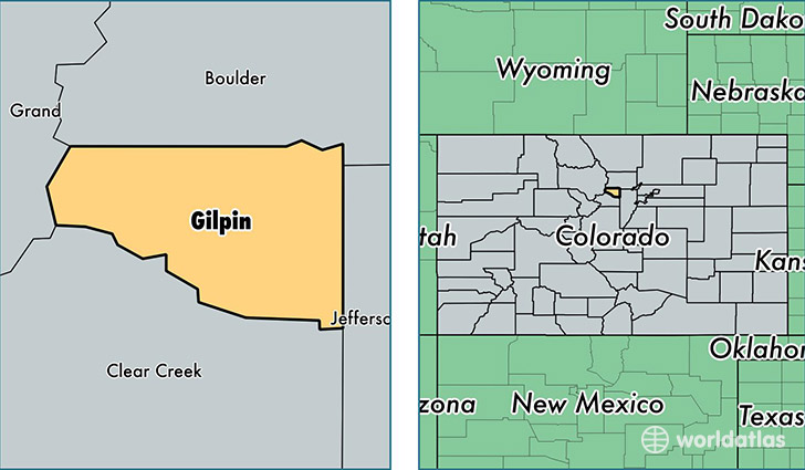
Gilpin County is a county equivalent area found in Colorado, USA. The county government of Gilpin is found in the county seat of Central City.
With a total 389.17 sq. km of land and water area, Gilpin County, Colorado is the 3075th largest county equivalent area in the United States. Home to 5,851 people, Gilpin County has a total 3569 households earning 63885 on average per year.
Gilpin County, Colorado - Quick Facts
| FIPS Code | 8047 |
| Area Codes | 303 |
| Time Zone | MST |
| Major Cities | Black Hawk (population: 4,368), Central City (population: 829), Rollinsville (population: 276) |
| Land Area | 2,259 sq miles |
| Water Area | 150 sq miles |
| Household Income | $63,885 |
| Housing Units | 3,569 |
| Median Home Value | $281,700 |
| High School Grads | 94% of population |
| Holders of Bachelors Degrees | 29% of population |
| Retail Spending | $636 per capita |
| Food & Accomodation Sales | $291,507 per capita |
This page was last updated on June 30, 2016.