Where is Yucaipa, CA?
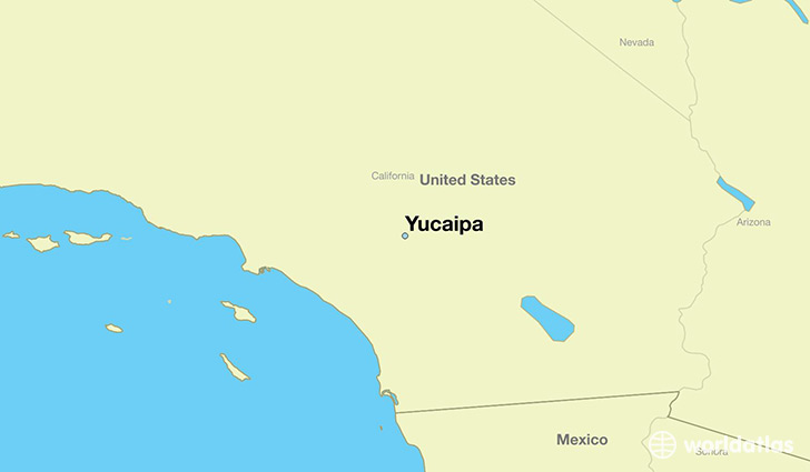
Yucaipa is a city found in California, The United States Of America. It is located 34.03 latitude and -117.04 longitude and it is situated at elevation 799 meters above sea level.
Yucaipa has a population of 51,367 making it the 183rd biggest city in California. It operates on the PDT time zone, which means that it follows the same time zone as Los Angeles.
Quick facts
| Country | The United States Of America |
| State | California |
| Population | 51,367 |
| Elevation | 799 m over sea level |
| Time Zone | PDT |
| Longitude | -117.043090 |
| Latitude | 34.033630 |
Yucaipa has a population of around 52739, of which 26171 (49%) are male and 26568 (50%) are female. The average age of the inhabitants of Yucaipa is 38.20, meaning that the average person is above the national median age of 37. For every male, there are approximately 1.02 females, meaning that the population is relatively evenly distributed between males and female(s).
Of Yucaipa's 52739 residents, around 51045 (96.80%) identify as having a single race. The majority of the population is white, which consists of 82.10% of the population. Of the remaining population, 947 are black/African Americans (1.80%), 328 are native Americans (0.60%), 759 are asians (1.40%), 638 are pacific islanders (1.20%), 5093 are other (9.70%).
The median income of households in Yucaipa is $56452.00, meaning that most of the households are above the poverty threshold for families of three. Of the total population, 5.60% of households reported an annual income of less than $10,000.
Yucaipa, CA Zipcodes
The city of Yucaipa has 4 zipcodes recognized by the United States Census Bureau: 92359, 92373, 92374, 92399.