Where is Yorba Linda, CA?
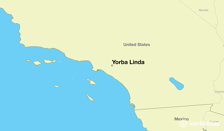
Yorba Linda is a city found in California, The United States Of America. It is located 33.89 latitude and -117.81 longitude and it is situated at elevation 116 meters above sea level.
Yorba Linda has a population of 64,234 making it the 138th biggest city in California. It operates on the PDT time zone, which means that it follows the same time zone as Los Angeles.
Quick facts
| Country | The United States Of America |
| State | California |
| Population | 64,234 |
| Elevation | 116 m over sea level |
| Time Zone | PDT |
| Longitude | -117.813110 |
| Latitude | 33.888630 |
Yorba-linda has a population of around 67033, of which 33122 (49%) are male and 33911 (50%) are female. The average age of the inhabitants of Yorba-linda is 39.83, meaning that the average person is above the national median age of 37. For every male, there are approximately 1.02 females, meaning that the population is relatively evenly distributed between males and female(s).
Of Yorba-linda's 67033 residents, around 63902 (95.30%) identify as having a single race. The majority of the population is white, which consists of 74.70% of the population. Of the remaining population, 769 are black/African Americans (1.10%), 137 are native Americans (0.20%), 11888 are asians (17.00%), 53 are pacific islanders (0.10%), 1005 are other (1.50%).
The median income of households in Yorba-linda is $117855.00, meaning that most of the households are above the poverty threshold for families of three. Of the total population, 2.30% of households reported an annual income of less than $10,000.
Yorba Linda, CA Zipcodes
The city of Yorba Linda has 5 zipcodes recognized by the United States Census Bureau: 92807, 92808, 92870, 92886, 92887.