Where is Westminster, CA?
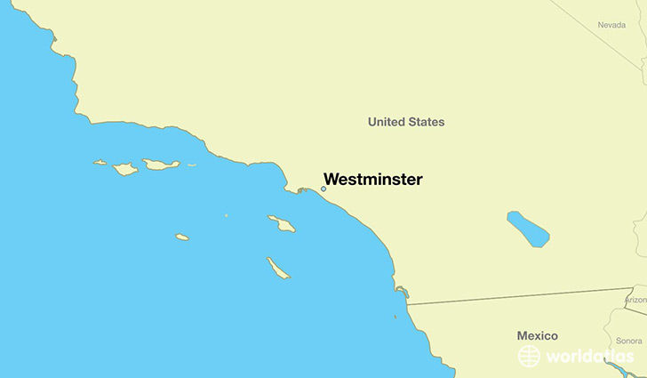
Westminster is a city found in California, The United States Of America. It is located 33.76 latitude and -118.01 longitude and it is situated at elevation 14 meters above sea level.
Westminster has a population of 89,701 making it the 89th biggest city in California. It operates on the PDT time zone, which means that it follows the same time zone as Los Angeles.
Quick facts
| Country | The United States Of America |
| State | California |
| Population | 89,701 |
| Elevation | 14 m over sea level |
| Time Zone | PDT |
| Longitude | -118.006730 |
| Latitude | 33.759180 |
Westminster has a population of around 91719, of which 45348 (49%) are male and 46371 (50%) are female. The average age of the inhabitants of Westminster is 40.01, meaning that the average person is above the national median age of 37. For every male, there are approximately 1.02 females, meaning that the population is relatively evenly distributed between males and female(s).
Of Westminster's 91719 residents, around 88608 (96.60%) identify as having a single race. Of the population, 35048 are white (38.20%), 808 are black/African Americans (0.90%), 438 are native Americans (0.50%), 44221 are asians (48.00%), 568 are pacific islanders (0.60%), 7525 are other (8.20%).
The median income of households in Westminster is $53455.00, meaning that most of the households are above the poverty threshold for families of three. Of the total population, 5.10% of households reported an annual income of less than $10,000.
Westminster, CA Zipcodes
The city of Westminster has 7 zipcodes recognized by the United States Census Bureau: 90740, 92647, 92655, 92683, 92708, 92841, 92844.