Where is Stockton, CA?
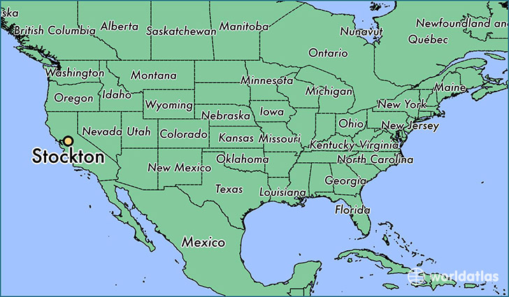
Stockton is a city found in California, The United States Of America. It is located 37.96 latitude and -121.29 longitude and it is situated at elevation 6 meters above sea level.
Stockton has a population of 291,707 making it the 13th biggest city in California. It operates on the PDT time zone, which means that it follows the same time zone as Los Angeles.
Quick facts
| Country | The United States Of America |
| State | California |
| Population | 291,707 |
| Elevation | 6 m over sea level |
| Time Zone | PDT |
| Longitude | -121.290780 |
| Latitude | 37.957700 |
Stockton has a population of around 299722, of which 146507 (48%) are male and 153215 (51%) are female. The average age of the inhabitants of Stockton is 34.02, meaning that the average person is below the national median age of 37. For every male, there are approximately 1.05 females, meaning that the population is relatively evenly distributed between males and female(s).
Of Stockton's 299722 residents, around 275092 (91.80%) identify as having a single race. Of the population, 132471 are white (44.20%), 34772 are black/African Americans (11.60%), 2037 are native Americans (0.70%), 64145 are asians (21.00%), 2235 are pacific islanders (0.70%), 39432 are other (13.00%).
The median income of households in Stockton is $44797.00, meaning that most of the households are above the poverty threshold for families of three. Of the total population, 8.10% of households reported an annual income of less than $10,000.
Stockton, CA Zipcodes
The city of Stockton has 15 zipcodes recognized by the United States Census Bureau: 95202, 95203, 95204, 95205, 95206, 95207, 95209, 95210, 95211, 95212, 95215, 95219, 95231, 95242, 95336.