Where is Santa Clarita, CA?
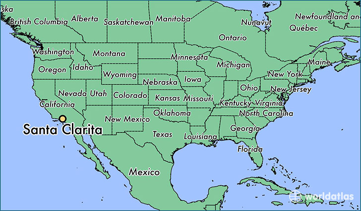
Santa Clarita is a city found in California, The United States Of America. It is located 34.39 latitude and -118.54 longitude and it is situated at elevation 368 meters above sea level.
Santa Clarita has a population of 176,320 making it the 25th biggest city in California. It operates on the PDT time zone, which means that it follows the same time zone as Los Angeles.
Quick facts
| Country | The United States Of America |
| State | California |
| Population | 176,320 |
| Elevation | 368 m over sea level |
| Time Zone | PDT |
| Longitude | -118.542590 |
| Latitude | 34.391660 |
Santa-clarita has a population of around 179950, of which 88732 (49%) are male and 91218 (50%) are female. The average age of the inhabitants of Santa-clarita is 36.58, meaning that the average person is below the national median age of 37. For every male, there are approximately 1.03 females, meaning that the population is relatively evenly distributed between males and female(s).
Of Santa-clarita's 179950 residents, around 168911 (93.90%) identify as having a single race. The majority of the population is white, which consists of 73.50% of the population. Of the remaining population, 5469 are black/African Americans (3.00%), 912 are native Americans (0.50%), 17238 are asians (9.60%), 255 are pacific islanders (0.10%), 12719 are other (7.10%).
The median income of households in Santa-clarita is $83554.00, meaning that most of the households are above the poverty threshold for families of three. Of the total population, 3.20% of households reported an annual income of less than $10,000.
Santa Clarita, CA Zipcodes
The city of Santa Clarita has 8 zipcodes recognized by the United States Census Bureau: 91321, 91350, 91351, 91354, 91355, 91381, 91387, 91390.