Where is Santa Clara, CA?
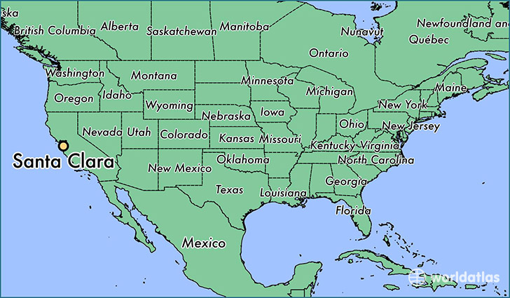
Santa Clara is a city found in California, The United States Of America. It is located 37.35 latitude and -121.96 longitude and it is situated at elevation 22 meters above sea level.
Santa Clara has a population of 116,468 making it the 53rd biggest city in California. It operates on the PDT time zone, which means that it follows the same time zone as Los Angeles.
Quick facts
| Country | The United States Of America |
| State | California |
| Population | 116,468 |
| Elevation | 22 m over sea level |
| Time Zone | PDT |
| Longitude | -121.955240 |
| Latitude | 37.354110 |
Santa-clara has a population of around 121374, of which 61538 (50%) are male and 59836 (49%) are female. The average age of the inhabitants of Santa-clara is 35.26, meaning that the average person is below the national median age of 37. For every male, there are approximately 0.97 females, meaning that the population is relatively evenly distributed between males and female(s).
Of Santa-clara's 121374 residents, around 115863 (95.50%) identify as having a single race. Of the population, 55811 are white (46.00%), 4493 are black/African Americans (3.70%), 580 are native Americans (0.50%), 48171 are asians (39.00%), 867 are pacific islanders (0.70%), 5941 are other (4.90%).
The median income of households in Santa-clara is $98914.00, meaning that most of the households are above the poverty threshold for families of three. Of the total population, 3.70% of households reported an annual income of less than $10,000.
Santa Clara, CA Zipcodes
The city of Santa Clara has 9 zipcodes recognized by the United States Census Bureau: 94086, 94087, 95050, 95051, 95053, 95054, 95110, 95117, 95126.