Where is San Leandro, CA?
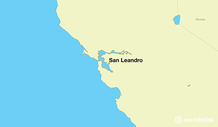
San Leandro is a city found in California, The United States Of America. It is located 37.72 latitude and -122.16 longitude and it is situated at elevation 19 meters above sea level.
San Leandro has a population of 86,869 making it the 91st biggest city in California. It operates on the PDT time zone, which means that it follows the same time zone as Los Angeles.
Quick facts
| Country | The United States Of America |
| State | California |
| Population | 86,869 |
| Elevation | 19 m over sea level |
| Time Zone | PDT |
| Longitude | -122.156080 |
| Latitude | 37.724930 |
San-leandro has a population of around 88329, of which 43579 (49%) are male and 44750 (50%) are female. The average age of the inhabitants of San-leandro is 39.15, meaning that the average person is above the national median age of 37. For every male, there are approximately 1.03 females, meaning that the population is relatively evenly distributed between males and female(s).
Of San-leandro's 88329 residents, around 83237 (94.20%) identify as having a single race. Of the population, 36282 are white (41.10%), 10597 are black/African Americans (12.00%), 989 are native Americans (1.10%), 28396 are asians (32.00%), 1045 are pacific islanders (1.20%), 5928 are other (6.70%).
The median income of households in San-leandro is $62761.00, meaning that most of the households are above the poverty threshold for families of three. Of the total population, 3.70% of households reported an annual income of less than $10,000.
San Leandro, CA Zipcodes
The city of San Leandro has 4 zipcodes recognized by the United States Census Bureau: 94577, 94578, 94579, 94580.