Where is Perris, CA?
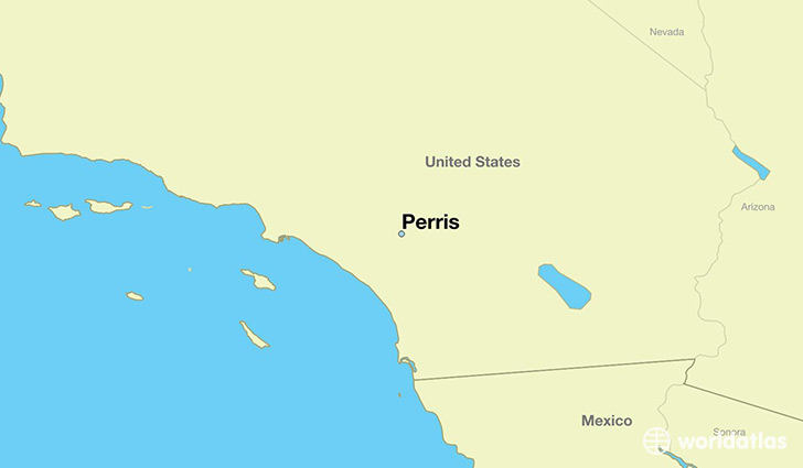
Perris is a city found in California, The United States Of America. It is located 33.78 latitude and -117.23 longitude and it is situated at elevation 445 meters above sea level.
Perris has a population of 68,386 making it the 129th biggest city in California. It operates on the PDT time zone, which means that it follows the same time zone as Los Angeles.
Quick facts
| Country | The United States Of America |
| State | California |
| Population | 68,386 |
| Elevation | 445 m over sea level |
| Time Zone | PDT |
| Longitude | -117.228650 |
| Latitude | 33.782520 |
Perris has a population of around 72547, of which 36382 (50%) are male and 36165 (49%) are female. The average age of the inhabitants of Perris is 29.10, meaning that the average person is below the national median age of 37. For every male, there are approximately 0.99 females, meaning that the population is relatively evenly distributed between males and female(s).
Of Perris's 72547 residents, around 70974 (97.80%) identify as having a single race. Of the population, 27397 are white (37.80%), 8212 are black/African Americans (11.30%), 584 are native Americans (0.80%), 2768 are asians (3.80%), 32013 are other (44.00%).
The median income of households in Perris is $49325.00, meaning that most of the households are above the poverty threshold for families of three. Of the total population, 5.80% of households reported an annual income of less than $10,000.
Perris, CA Zipcodes
The city of Perris has 5 zipcodes recognized by the United States Census Bureau: 92570, 92571, 92585, 92586, 92587.