Where is Palmdale, CA?
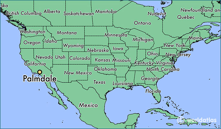
Palmdale is a city found in California, The United States Of America. It is located 34.58 latitude and -118.12 longitude and it is situated at elevation 815 meters above sea level.
Palmdale has a population of 152,750 making it the 34th biggest city in California. It operates on the PDT time zone, which means that it follows the same time zone as Los Angeles.
Quick facts
| Country | The United States Of America |
| State | California |
| Population | 152,750 |
| Elevation | 815 m over sea level |
| Time Zone | PDT |
| Longitude | -118.116460 |
| Latitude | 34.579430 |
Palmdale has a population of around 156672, of which 77266 (49%) are male and 79406 (50%) are female. The average age of the inhabitants of Palmdale is 32.33, meaning that the average person is below the national median age of 37. For every male, there are approximately 1.03 females, meaning that the population is relatively evenly distributed between males and female(s).
Of Palmdale's 156672 residents, around 149549 (95.50%) identify as having a single race. Of the population, 67267 are white (42.90%), 21319 are black/African Americans (13.60%), 952 are native Americans (0.60%), 7068 are asians (4.50%), 216 are pacific islanders (0.10%), 52727 are other (33.00%).
The median income of households in Palmdale is $52392.00, meaning that most of the households are above the poverty threshold for families of three. Of the total population, 7.20% of households reported an annual income of less than $10,000.
Palmdale, CA Zipcodes
The city of Palmdale has 7 zipcodes recognized by the United States Census Bureau: 91390, 93535, 93543, 93550, 93551, 93552, 93591.