Where is Ontario, CA?
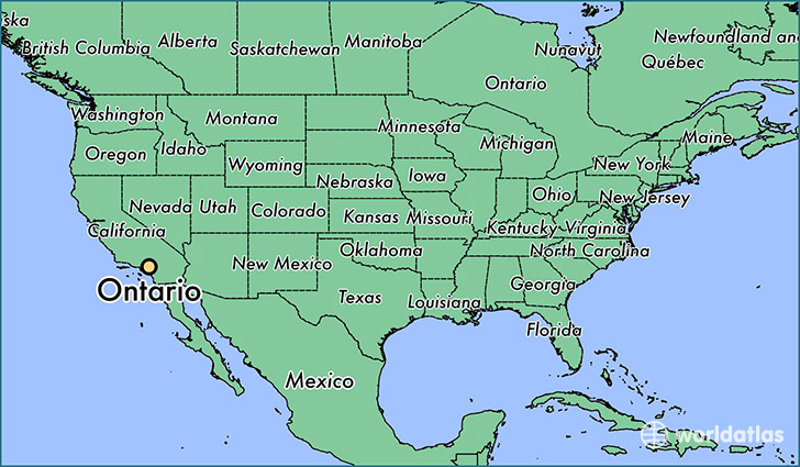
Ontario is a city found in California, The United States Of America. It is located 34.06 latitude and -117.65 longitude and it is situated at elevation 307 meters above sea level.
Ontario has a population of 163,924 making it the 31st biggest city in California. It operates on the PDT time zone, which means that it follows the same time zone as Los Angeles.
Quick facts
| Country | The United States Of America |
| State | California |
| Population | 163,924 |
| Elevation | 307 m over sea level |
| Time Zone | PDT |
| Longitude | -117.650890 |
| Latitude | 34.063340 |
Ontario has a population of around 168218, of which 81708 (48%) are male and 86510 (51%) are female. The average age of the inhabitants of Ontario is 33.24, meaning that the average person is below the national median age of 37. For every male, there are approximately 1.06 females, meaning that the population is relatively evenly distributed between males and female(s).
Of Ontario's 168218 residents, around 160923 (95.70%) identify as having a single race. The majority of the population is white, which consists of 51.50% of the population. Of the remaining population, 9844 are black/African Americans (5.90%), 1211 are native Americans (0.70%), 9205 are asians (5.50%), 317 are pacific islanders (0.20%), 53746 are other (32.00%).
The median income of households in Ontario is $54114.00, meaning that most of the households are above the poverty threshold for families of three. Of the total population, 5.90% of households reported an annual income of less than $10,000.
Ontario, CA Zipcodes
The city of Ontario has 4 zipcodes recognized by the United States Census Bureau: 91710, 91761, 91762, 91764.