Where is Moreno Valley, CA?
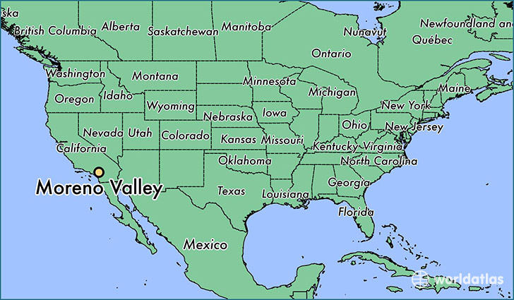
Moreno Valley is a city found in California, The United States Of America. It is located 33.94 latitude and -117.23 longitude and it is situated at elevation 499 meters above sea level.
Moreno Valley has a population of 193,365 making it the 21st biggest city in California. It operates on the PDT time zone, which means that it follows the same time zone as Los Angeles.
Quick facts
| Country | The United States Of America |
| State | California |
| Population | 193,365 |
| Elevation | 499 m over sea level |
| Time Zone | PDT |
| Longitude | -117.230590 |
| Latitude | 33.937520 |
Moreno-valley has a population of around 200788, of which 97666 (48%) are male and 103122 (51%) are female. The average age of the inhabitants of Moreno-valley is 32.51, meaning that the average person is below the national median age of 37. For every male, there are approximately 1.06 females, meaning that the population is relatively evenly distributed between males and female(s).
Of Moreno-valley's 200788 residents, around 194418 (96.80%) identify as having a single race. The majority of the population is white, which consists of 50.10% of the population. Of the remaining population, 35456 are black/African Americans (17.70%), 1533 are native Americans (0.80%), 11768 are asians (5.90%), 1230 are pacific islanders (0.60%), 43896 are other (21.00%).
The median income of households in Moreno-valley is $54590.00, meaning that most of the households are above the poverty threshold for families of three. Of the total population, 5.50% of households reported an annual income of less than $10,000.
Moreno Valley, CA Zipcodes
The city of Moreno Valley has 8 zipcodes recognized by the United States Census Bureau: 92507, 92508, 92518, 92551, 92553, 92555, 92557, 92571.