Where is Inglewood, CA?
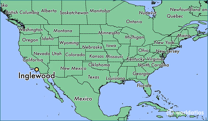
Inglewood is a city found in California, The United States Of America. It is located 33.96 latitude and -118.35 longitude and it is situated at elevation 44 meters above sea level.
Inglewood has a population of 109,673 making it the 60th biggest city in California. It operates on the PDT time zone, which means that it follows the same time zone as Los Angeles.
Quick facts
| Country | The United States Of America |
| State | California |
| Population | 109,673 |
| Elevation | 44 m over sea level |
| Time Zone | PDT |
| Longitude | -118.353130 |
| Latitude | 33.961680 |
Inglewood has a population of around 111411, of which 52420 (47%) are male and 58991 (52%) are female. The average age of the inhabitants of Inglewood is 35.03, meaning that the average person is below the national median age of 37. For every male, there are approximately 1.13 females, meaning that the population is relatively evenly distributed between males and female(s).
Of Inglewood's 111411 residents, around 107855 (96.80%) identify as having a single race. Of the population, 32041 are white (28.80%), 47241 are black/African Americans (42.40%), 538 are native Americans (0.50%), 1517 are asians (1.40%), 310 are pacific islanders (0.30%), 26208 are other (23.00%).
The median income of households in Inglewood is $42044.00, meaning that most of the households are above the poverty threshold for families of three. Of the total population, 8.30% of households reported an annual income of less than $10,000.
Inglewood, CA Zipcodes
The city of Inglewood has 7 zipcodes recognized by the United States Census Bureau: 90045, 90250, 90301, 90302, 90303, 90304, 90305.