Where is Hacienda Heights, CA?
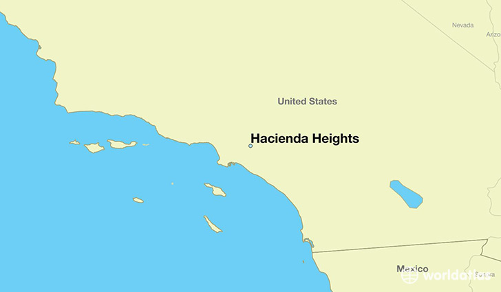
Hacienda Heights is a city found in California, The United States Of America. It is located 33.99 latitude and -117.97 longitude and it is situated at elevation 138 meters above sea level.
Hacienda Heights has a population of 54,038 making it the 172nd biggest city in California. It operates on the PDT time zone, which means that it follows the same time zone as Los Angeles.
Quick facts
| Country | The United States Of America |
| State | California |
| Population | 54,038 |
| Elevation | 138 m over sea level |
| Time Zone | PDT |
| Longitude | -117.968680 |
| Latitude | 33.993070 |
Hacienda-heights has a population of around 55158, of which 26946 (48%) are male and 28212 (51%) are female. The average age of the inhabitants of Hacienda-heights is 40.45, meaning that the average person is above the national median age of 37. For every male, there are approximately 1.05 females, meaning that the population is relatively evenly distributed between males and female(s).
Of Hacienda-heights's 55158 residents, around 53684 (97.30%) identify as having a single race. Of the population, 24036 are white (43.60%), 523 are black/African Americans (0.90%), 304 are native Americans (0.60%), 21847 are asians (39.00%), 197 are pacific islanders (0.40%), 6777 are other (12.00%).
The median income of households in Hacienda-heights is $78039.00, meaning that most of the households are above the poverty threshold for families of three. Of the total population, 3.30% of households reported an annual income of less than $10,000.
Hacienda Heights, CA Zipcodes
The city of Hacienda Heights has 4 zipcodes recognized by the United States Census Bureau: 90631, 91745, 91746, 91748.