Where is Gardena, CA?
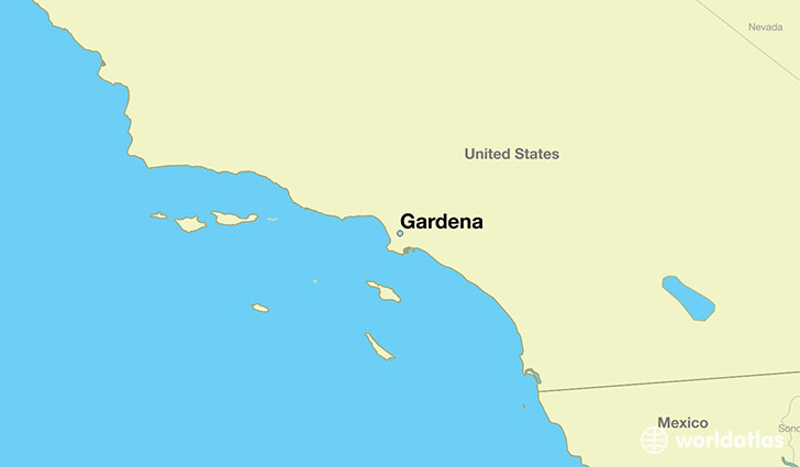
Gardena is a city found in California, The United States Of America. It is located 33.89 latitude and -118.31 longitude and it is situated at elevation 18 meters above sea level.
Gardena has a population of 58,829 making it the 157th biggest city in California. It operates on the PDT time zone, which means that it follows the same time zone as Los Angeles.
Quick facts
| Country | The United States Of America |
| State | California |
| Population | 58,829 |
| Elevation | 18 m over sea level |
| Time Zone | PDT |
| Longitude | -118.308960 |
| Latitude | 33.888350 |
Gardena has a population of around 59931, of which 28615 (47%) are male and 31316 (52%) are female. The average age of the inhabitants of Gardena is 39.30, meaning that the average person is above the national median age of 37. For every male, there are approximately 1.09 females, meaning that the population is relatively evenly distributed between males and female(s).
Of Gardena's 59931 residents, around 57399 (95.80%) identify as having a single race. Of the population, 13412 are white (22.40%), 14342 are black/African Americans (23.90%), 179 are native Americans (0.30%), 15352 are asians (25.00%), 304 are pacific islanders (0.50%), 13810 are other (23.00%).
The median income of households in Gardena is $47674.00, meaning that most of the households are above the poverty threshold for families of three. Of the total population, 7.40% of households reported an annual income of less than $10,000.
Gardena, CA Zipcodes
The city of Gardena has 3 zipcodes recognized by the United States Census Bureau: 90247, 90248, 90249.