Where is Garden Grove, CA?
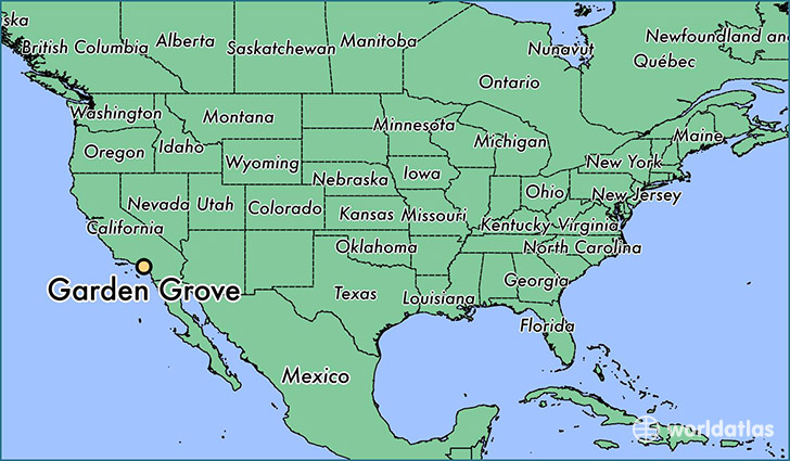
Garden Grove is a city found in California, The United States Of America. It is located 33.77 latitude and -117.94 longitude and it is situated at elevation 26 meters above sea level.
Garden Grove has a population of 170,883 making it the 26th biggest city in California. It operates on the PDT time zone, which means that it follows the same time zone as Los Angeles.
Quick facts
| Country | The United States Of America |
| State | California |
| Population | 170,883 |
| Elevation | 26 m over sea level |
| Time Zone | PDT |
| Longitude | -117.941450 |
| Latitude | 33.773910 |
Garden-grove has a population of around 174721, of which 87495 (50%) are male and 87226 (49%) are female. The average age of the inhabitants of Garden-grove is 36.96, meaning that the average person is below the national median age of 37. For every male, there are approximately 1 females, meaning that the population is relatively evenly distributed between males and female(s).
Of Garden-grove's 174721 residents, around 171103 (97.90%) identify as having a single race. Of the population, 74088 are white (42.40%), 1931 are black/African Americans (1.10%), 1189 are native Americans (0.70%), 68225 are asians (39.00%), 920 are pacific islanders (0.50%), 24750 are other (14.00%).
The median income of households in Garden-grove is $58449.00, meaning that most of the households are above the poverty threshold for families of three. Of the total population, 5.90% of households reported an annual income of less than $10,000.
Garden Grove, CA Zipcodes
The city of Garden Grove has 12 zipcodes recognized by the United States Census Bureau: 90680, 92683, 92703, 92706, 92802, 92804, 92840, 92841, 92843, 92844, 92845, 92868.