Where is Citrus Heights, CA?
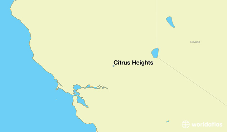
Citrus Heights is a city found in California, The United States Of America. It is located 38.71 latitude and -121.28 longitude and it is situated at elevation 52 meters above sea level.
Citrus Heights has a population of 83,301 making it the 97th biggest city in California. It operates on the PDT time zone, which means that it follows the same time zone as Los Angeles.
Quick facts
| Country | The United States Of America |
| State | California |
| Population | 83,301 |
| Elevation | 52 m over sea level |
| Time Zone | PDT |
| Longitude | -121.281060 |
| Latitude | 38.707120 |
Citrus-heights has a population of around 85408, of which 40813 (47%) are male and 44595 (52%) are female. The average age of the inhabitants of Citrus-heights is 38.43, meaning that the average person is above the national median age of 37. For every male, there are approximately 1.09 females, meaning that the population is relatively evenly distributed between males and female(s).
Of Citrus-heights's 85408 residents, around 81240 (95.10%) identify as having a single race. The majority of the population is white, which consists of 81.60% of the population. Of the remaining population, 2888 are black/African Americans (3.40%), 966 are native Americans (1.10%), 2791 are asians (3.30%), 320 are pacific islanders (0.40%), 4563 are other (5.30%).
The median income of households in Citrus-heights is $50047.00, meaning that most of the households are above the poverty threshold for families of three. Of the total population, 5.10% of households reported an annual income of less than $10,000.
Citrus Heights, CA Zipcodes
The city of Citrus Heights has 5 zipcodes recognized by the United States Census Bureau: 95610, 95621, 95628, 95841, 95842.