Where is Chula Vista, CA?
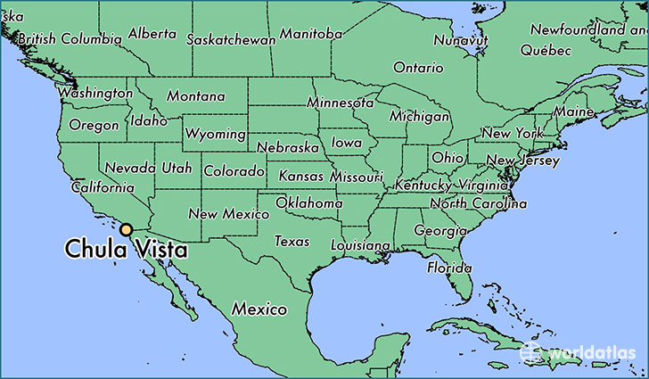
Chula Vista is a city found in California, The United States Of America. It is located 32.64 latitude and -117.08 longitude and it is situated at elevation 21 meters above sea level.
Chula Vista has a population of 243,916 making it the 14th biggest city in California. It operates on the PDT time zone, which means that it follows the same time zone as Los Angeles.
Quick facts
| Country | The United States Of America |
| State | California |
| Population | 243,916 |
| Elevation | 21 m over sea level |
| Time Zone | PDT |
| Longitude | -117.084200 |
| Latitude | 32.640050 |
Chula-vista has a population of around 257296, of which 126400 (49%) are male and 130896 (50%) are female. The average age of the inhabitants of Chula-vista is 35.34, meaning that the average person is below the national median age of 37. For every male, there are approximately 1.04 females, meaning that the population is relatively evenly distributed between males and female(s).
Of Chula-vista's 257296 residents, around 243939 (94.80%) identify as having a single race. The majority of the population is white, which consists of 67.40% of the population. Of the remaining population, 12510 are black/African Americans (4.90%), 1112 are native Americans (0.40%), 37074 are asians (14.00%), 1170 are pacific islanders (0.50%), 18742 are other (7.30%).
The median income of households in Chula-vista is $65185.00, meaning that most of the households are above the poverty threshold for families of three. Of the total population, 5.20% of households reported an annual income of less than $10,000.
Chula Vista, CA Zipcodes
The city of Chula Vista has 8 zipcodes recognized by the United States Census Bureau: 91902, 91910, 91911, 91913, 91914, 91915, 91950, 92154.