Where is Chico, CA?
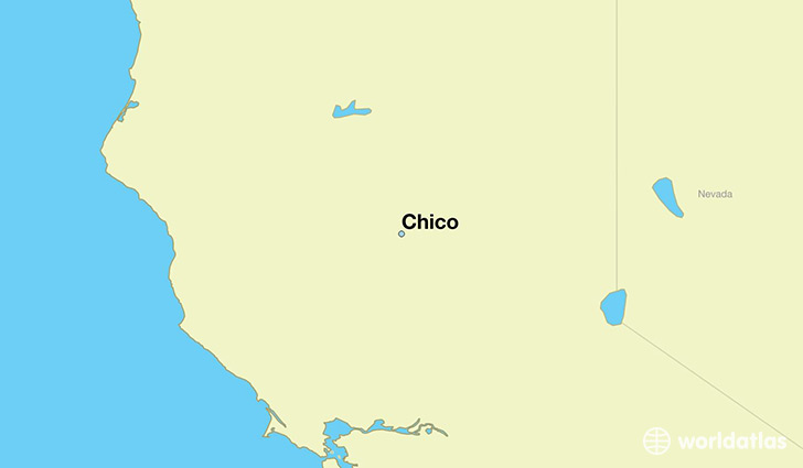
Chico is a city found in California, The United States Of America. It is located 39.73 latitude and -121.84 longitude and it is situated at elevation 64 meters above sea level.
Chico has a population of 86,187 making it the 92nd biggest city in California. It operates on the PDT time zone, which means that it follows the same time zone as Los Angeles.
Quick facts
| Country | The United States Of America |
| State | California |
| Population | 86,187 |
| Elevation | 64 m over sea level |
| Time Zone | PDT |
| Longitude | -121.837480 |
| Latitude | 39.728490 |
Chico has a population of around 88455, of which 43326 (48%) are male and 45129 (51%) are female. The average age of the inhabitants of Chico is 34.61, meaning that the average person is below the national median age of 37. For every male, there are approximately 1.04 females, meaning that the population is relatively evenly distributed between males and female(s).
Of Chico's 88455 residents, around 82978 (93.80%) identify as having a single race. The majority of the population is white, which consists of 83.40% of the population. Of the remaining population, 1654 are black/African Americans (1.90%), 663 are native Americans (0.70%), 3395 are asians (3.80%), 203 are pacific islanders (0.20%), 3248 are other (3.70%).
The median income of households in Chico is $42342.00, meaning that most of the households are above the poverty threshold for families of three. Of the total population, 10.80% of households reported an annual income of less than $10,000.
Chico, CA Zipcodes
The city of Chico has 3 zipcodes recognized by the United States Census Bureau: 95926, 95928, 95973.