Where is Bakersfield, CA?
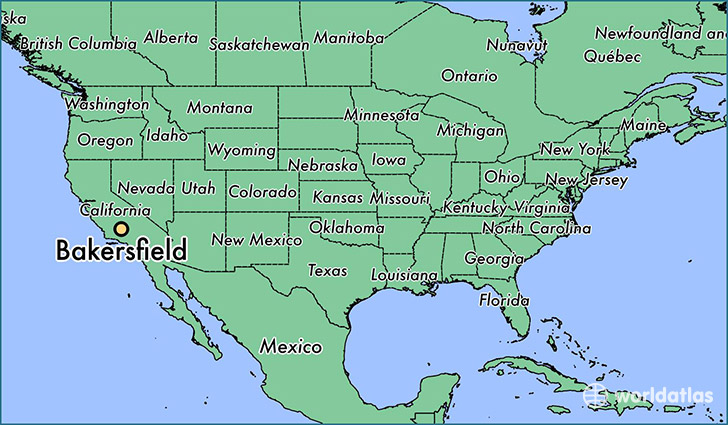
Bakersfield is a city found in California, The United States Of America. It is located 35.37 latitude and -119.02 longitude and it is situated at elevation 130 meters above sea level.
Bakersfield has a population of 347,483 making it the 9th biggest city in California. It operates on the PDT time zone, which means that it follows the same time zone as Los Angeles.
Quick facts
| Country | The United States Of America |
| State | California |
| Population | 347,483 |
| Elevation | 130 m over sea level |
| Time Zone | PDT |
| Longitude | -119.018710 |
| Latitude | 35.373290 |
Bakersfield has a population of around 363612, of which 179681 (49%) are male and 183931 (50%) are female. The average age of the inhabitants of Bakersfield is 32.51, meaning that the average person is below the national median age of 37. For every male, there are approximately 1.02 females, meaning that the population is relatively evenly distributed between males and female(s).
Of Bakersfield's 363612 residents, around 349792 (96.20%) identify as having a single race. The majority of the population is white, which consists of 68.50% of the population. Of the remaining population, 30070 are black/African Americans (8.30%), 4572 are native Americans (1.30%), 24962 are asians (6.90%), 610 are pacific islanders (0.20%), 40439 are other (11.00%).
The median income of households in Bakersfield is $57095.00, meaning that most of the households are above the poverty threshold for families of three. Of the total population, 6.20% of households reported an annual income of less than $10,000.
Bakersfield, CA Zipcodes
The city of Bakersfield has 13 zipcodes recognized by the United States Census Bureau: 93203, 93220, 93301, 93304, 93305, 93306, 93307, 93308, 93309, 93311, 93312, 93313, 93314.