Where is California, United States?
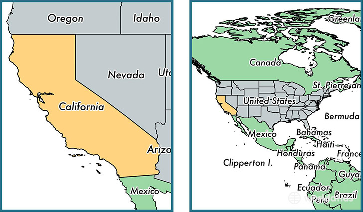
California is a state found in the nation of United States. Home to 37,253,956 people, it is the 1st largest division in United States in terms of population.
California gained its current status as a state in the year 1850. The government of California is lead by Jerry Brown and is based in the state capital of Sacramento (Population: 466,488).
The most populous cities in California are: Los Angeles (Population: 3,792,621), San Diego (Population: 1,307,402), San Jose (Population: 945,942), San Francisco (Population: 805,235), Fresno (Population: 494,665).
California State - Quick Facts
| Country | United States |
| Region Type | State |
| ISO Code | US_CA |
| Time Zone | PDT |
| Year of Establishment | 1850 |
| Capital | Sacramento (Population: 466,488) |
| Head of Government | Jerry Brown |
| Total Population | 37,253,956 |
| Total Area | 411,049 sq km (158,707 sq miles) |
| Population Density | 90.6 sq km (234.7 sq miles) |
This page was last updated on July 24, 2015.