Where is Mesa, AZ?
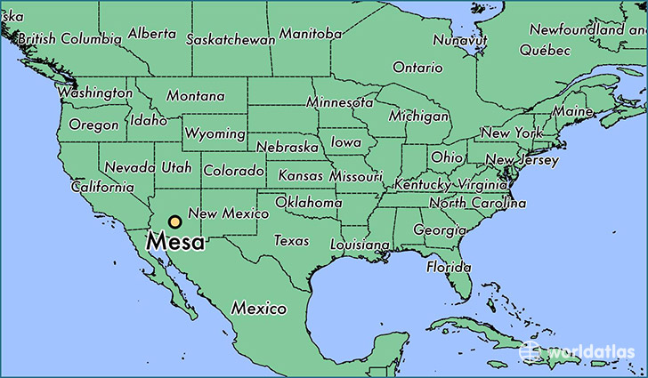
Mesa is a city found in Arizona, The United States Of America. It is located 33.41 latitude and -111.83 longitude and it is situated at elevation 380 meters above sea level.
Mesa has a population of 439,041 making it the 3rd biggest city in Arizona. It operates on the MDT time zone, which means that it follows the same time zone as Phoenix.
Quick facts
| Country | The United States Of America |
| State | Arizona |
| Population | 439,041 |
| Elevation | 380 m over sea level |
| Time Zone | MDT |
| Longitude | -111.831890 |
| Latitude | 33.412530 |
Mesa has a population of around 458860, of which 226220 (49%) are male and 232640 (50%) are female. The average age of the inhabitants of Mesa is 37.62, meaning that the average person is above the national median age of 37. For every male, there are approximately 1.03 females, meaning that the population is relatively evenly distributed between males and female(s).
Of Mesa's 458860 residents, around 445715 (97.10%) identify as having a single race. The majority of the population is white, which consists of 84.40% of the population. Of the remaining population, 16522 are black/African Americans (3.60%), 10028 are native Americans (2.20%), 8989 are asians (2.00%), 1897 are pacific islanders (0.40%), 21074 are other (4.60%).
The median income of households in Mesa is $48809.00, meaning that most of the households are above the poverty threshold for families of three. Of the total population, 6.50% of households reported an annual income of less than $10,000.
Mesa, AZ Zipcodes
The city of Mesa has 19 zipcodes recognized by the United States Census Bureau: 85120, 85142, 85201, 85202, 85203, 85204, 85205, 85206, 85207, 85208, 85209, 85210, 85212, 85213, 85215, 85233, 85234, 85281, 85283.