Where is Chandler, AZ?
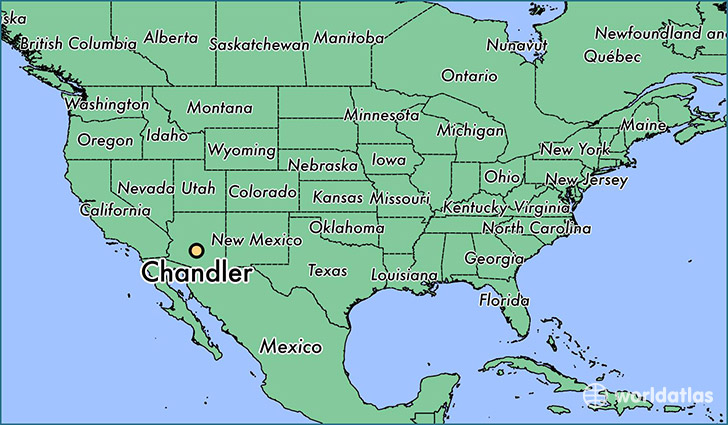
Chandler is a city found in Arizona, The United States Of America. It is located 33.31 latitude and -111.84 longitude and it is situated at elevation 368 meters above sea level.
Chandler has a population of 236,123 making it the 4th biggest city in Arizona. It operates on the MDT time zone, which means that it follows the same time zone as Phoenix.
Quick facts
| Country | The United States Of America |
| State | Arizona |
| Population | 236,123 |
| Elevation | 368 m over sea level |
| Time Zone | MDT |
| Longitude | -111.841250 |
| Latitude | 33.306160 |
Chandler has a population of around 250202, of which 124336 (49%) are male and 125866 (50%) are female. The average age of the inhabitants of Chandler is 34.90, meaning that the average person is below the national median age of 37. For every male, there are approximately 1.01 females, meaning that the population is relatively evenly distributed between males and female(s).
Of Chandler's 250202 residents, around 239702 (95.80%) identify as having a single race. The majority of the population is white, which consists of 77.40% of the population. Of the remaining population, 12144 are black/African Americans (4.90%), 3812 are native Americans (1.50%), 22486 are asians (9.00%), 391 are pacific islanders (0.20%), 7336 are other (2.90%).
The median income of households in Chandler is $72695.00, meaning that most of the households are above the poverty threshold for families of three. Of the total population, 4.20% of households reported an annual income of less than $10,000.
Chandler, AZ Zipcodes
The city of Chandler has 13 zipcodes recognized by the United States Census Bureau: 85044, 85224, 85225, 85226, 85233, 85248, 85249, 85283, 85284, 85286, 85295, 85297, 85298.