Where is Glendale, AZ?
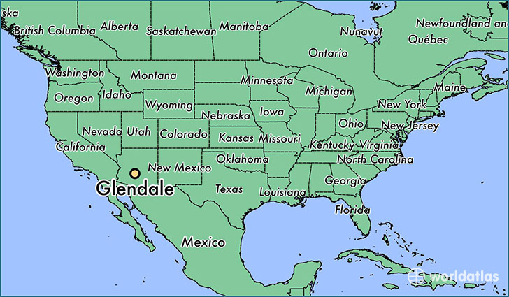
Glendale is a city found in Arizona, The United States Of America. It is located 33.54 latitude and -112.19 longitude and it is situated at elevation 350 meters above sea level.
Glendale has a population of 226,721 making it the 5th biggest city in Arizona. It operates on the MDT time zone, which means that it follows the same time zone as Phoenix.
Quick facts
| Country | The United States Of America |
| State | Arizona |
| Population | 226,721 |
| Elevation | 350 m over sea level |
| Time Zone | MDT |
| Longitude | -112.185990 |
| Latitude | 33.538650 |
Glendale has a population of around 234844, of which 115582 (49%) are male and 119262 (50%) are female. The average age of the inhabitants of Glendale is 34.80, meaning that the average person is below the national median age of 37. For every male, there are approximately 1.03 females, meaning that the population is relatively evenly distributed between males and female(s).
Of Glendale's 234844 residents, around 225221 (95.90%) identify as having a single race. The majority of the population is white, which consists of 78.10% of the population. Of the remaining population, 13341 are black/African Americans (5.70%), 3254 are native Americans (1.40%), 9534 are asians (4.10%), 354 are pacific islanders (0.20%), 15331 are other (6.50%).
The median income of households in Glendale is $46776.00, meaning that most of the households are above the poverty threshold for families of three. Of the total population, 8.70% of households reported an annual income of less than $10,000.
Glendale, AZ Zipcodes
The city of Glendale has 20 zipcodes recognized by the United States Census Bureau: 85031, 85033, 85037, 85301, 85302, 85303, 85304, 85305, 85306, 85307, 85308, 85309, 85310, 85335, 85340, 85345, 85355, 85381, 85382, 85383.