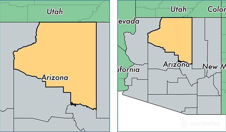
Where is Coconino County, Arizona?
Coconino County is a county equivalent area found in Arizona, USA. The county government of Coconino is found in the county seat of Flagstaff.
With a total 48,332.19 sq. km of land and water area, Coconino County, Arizona is the 14th largest county equivalent area in the United States. Home to 137,682 people, Coconino County has a total 64654 households earning 49555 on average per year.
Coconino County, Arizona offers the following attractions to visitors: Glen Canyon NRA, Grand Canyon, Grand Canyon North Rim, Grand Canyon NP, Grand Canyon South Rim, Sunset Crater Volcano NM, Vermilion Cliffs NM, Walnut Canyon NM, Wupatki NM
Coconino County, Arizona - Quick Facts
| FIPS Code | 4005 |
| Area Codes | 928 |
| Time Zone | MST |
| Major Cities | Flagstaff (population: 85,497), Tuba City (population: 11,488), Page (population: 10,404), Williams (population: 6,162), Tonalea (population: 4,294), Grand Canyon (population: 2,658), Kaibeto (population: 2,338), Fredonia (population: 2,239), Cameron (population: 1,963), Leupp (population: 1,823) |
| Land Area | 18,619 sq miles |
| Water Area | 43 sq miles |
| Household Income | $49,555 |
| Housing Units | 64,654 |
| Median Home Value | $220,400 |
| High School Grads | 88% of population |
| Holders of Bachelors Degrees | 31% of population |
| Retail Spending | $13,273 per capita |
| Food & Accomodation Sales | $717,689 per capita |
| Universities and Colleges | Northern Arizona University |
This page was last updated on December 5, 2018.