Where is Van Buren County, Arkansas?
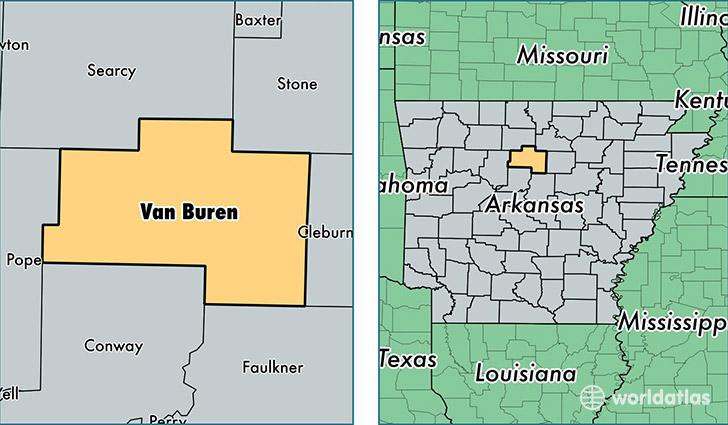
Van Buren County is a county equivalent area found in Arkansas, USA. The county government of Van Buren is found in the county seat of Clinton.
With a total 1,875.89 sq. km of land and water area, Van Buren County, Arkansas is the 1343rd largest county equivalent area in the United States. Home to 16,851 people, Van Buren County has a total 10287 households earning 32517 on average per year.
Van Buren County, Arkansas - Quick Facts
| FIPS Code | 5141 |
| Area Codes | 501 |
| Time Zone | CST |
| Major Cities | Clinton (population: 7,573), Shirley (population: 2,536), Fairfield Bay (population: 2,356), Damascus (population: 2,176), Bee Branch (population: 2,165), Jerusalem (population: 660), Dennard (population: 619), Scotland (population: 615) |
| Land Area | 6,506 sq miles |
| Water Area | 710 sq miles |
| Household Income | $32,517 |
| Housing Units | 10,287 |
| Median Home Value | $86,700 |
| High School Grads | 81% of population |
| Holders of Bachelors Degrees | 14% of population |
| Retail Spending | $9,238 per capita |
| Food & Accomodation Sales | $12,534 per capita |
This page was last updated on June 30, 2016.