Where is Union County, Arkansas?
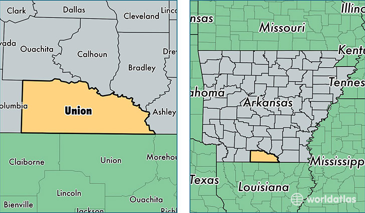
Union County is a county equivalent area found in Arkansas, USA. The county government of Union is found in the county seat of El Dorado.
With a total 2,732.96 sq. km of land and water area, Union County, Arkansas is the 712th largest county equivalent area in the United States. Home to 40,227 people, Union County has a total 19519 households earning 37435 on average per year.
Union County, Arkansas - Quick Facts
| FIPS Code | 5139 |
| Area Codes | 870 |
| Time Zone | CST |
| Major Cities | El Dorado (population: 31,615), Junction City (population: 2,548), Smackover (population: 2,453), Strong (population: 2,116), Huttig (population: 1,076), Norphlet (population: 588), Mount Holly (population: 441), Calion (population: 423) |
| Land Area | 15,532 sq miles |
| Water Area | 1,039 sq miles |
| Household Income | $37,435 |
| Housing Units | 19,519 |
| Median Home Value | $75,000 |
| High School Grads | 82% of population |
| Holders of Bachelors Degrees | 16% of population |
| Retail Spending | $12,261 per capita |
| Food & Accomodation Sales | $39,958 per capita |
This page was last updated on June 30, 2016.