Where is Calhoun County, Arkansas?
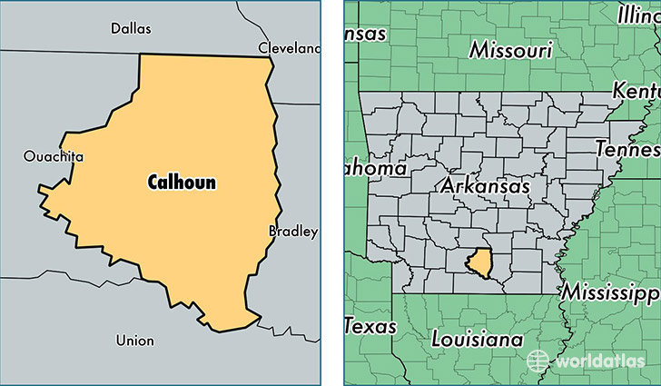
Calhoun County is a county equivalent area found in Arkansas, USA. The county government of Calhoun is found in the county seat of Hampton.
With a total 1,637.89 sq. km of land and water area, Calhoun County, Arkansas is the 1635th largest county equivalent area in the United States. Home to 5,202 people, Calhoun County has a total 2871 households earning 30980 on average per year.
Calhoun County, Arkansas - Quick Facts
| FIPS Code | 5013 |
| Area Codes | 870 |
| Time Zone | CST |
| Major Cities | Hampton (population: 3,187), Thornton (population: 662), Harrell (population: 261) |
| Land Area | 2,009 sq miles |
| Water Area | 629 sq miles |
| Household Income | $30,980 |
| Housing Units | 2,871 |
| Median Home Value | $58,300 |
| High School Grads | 81% of population |
| Holders of Bachelors Degrees | 7% of population |
| Retail Spending | $3,263 per capita |
| Food & Accomodation Sales | $802 per capita |
| Universities and Colleges | Southern Arkansas University Tech |
This page was last updated on June 30, 2016.