Where is Bethel Borough, Alaska?
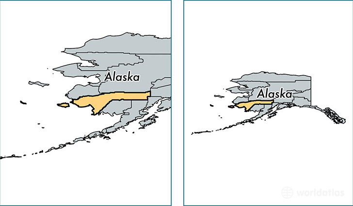
Bethel Borough is a county equivalent area found in Alaska, USA.
With a total 117,855.42 sq. km of land and water area, Bethel Borough, Alaska is the 3rd largest county equivalent area in the United States. Home to 17,868 people, Bethel Borough has a total 5912 households earning 51689 on average per year.
Bethel Borough, Alaska - Quick Facts
| FIPS Code | 2050 |
| Area Codes | 907 |
| Time Zone | PST-1 |
| Major Cities | Bethel (population: 7,960), Aniak (population: 757), Kwethluk (population: 754), Quinhagak (population: 697), Kipnuk (population: 666), Akiachak (population: 654), Toksook Bay (population: 615), Kasigluk (population: 593), Nunapitchuk (population: 517), Chefornak (population: 436) |
| Land Area | 6,899 sq miles |
| Water Area | 40,570 sq miles |
| Household Income | $51,689 |
| Housing Units | 5,912 |
| Median Home Value | $189,600 |
| High School Grads | 80% of population |
| Holders of Bachelors Degrees | 12% of population |
| Retail Spending | $5,658 per capita |
| Food & Accomodation Sales | $4,091 per capita |
This page was last updated on June 30, 2016.