Where is Dillingham Borough, Alaska?
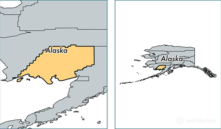
Dillingham Borough is a county equivalent area found in Alaska, USA.
With a total 54,170.19 sq. km of land and water area, Dillingham Borough, Alaska is the 11th largest county equivalent area in the United States. Home to 4,988 people, Dillingham Borough has a total 2418 households earning 54150 on average per year.
Dillingham Borough, Alaska - Quick Facts
| FIPS Code | 2070 |
| Area Codes | 907 |
| Time Zone | PST-1 |
| Major Cities | Dillingham (population: 2,703), Togiak (population: 925), New Stuyahok (population: 529), Manokotak (population: 460), Aleknagik (population: 229), Ekwok (population: 119), Clarks Point (population: 66) |
| Land Area | 1,926 sq miles |
| Water Area | 18,569 sq miles |
| Household Income | $54,150 |
| Housing Units | 2,418 |
| Median Home Value | $194,000 |
| High School Grads | 84% of population |
| Holders of Bachelors Degrees | 18% of population |
| Retail Spending | $8,612 per capita |
| Food & Accomodation Sales | $7,197 per capita |
This page was last updated on June 30, 2016.