Where is Guernsey County, Ohio?
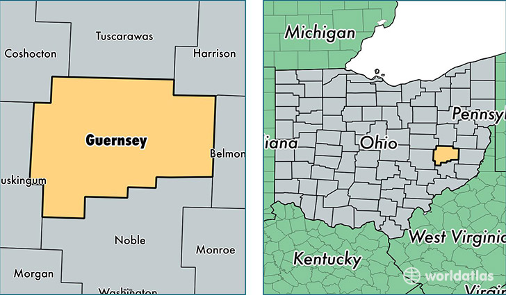
Guernsey County is a county equivalent area found in Ohio, USA. The county government of Guernsey is found in the county seat of Cambridge.
With a total 1,368.3 sq. km of land and water area, Guernsey County, Ohio is the 2075th largest county equivalent area in the United States. Home to 39,590 people, Guernsey County has a total 19003 households earning 38841 on average per year.
Guernsey County, Ohio - Quick Facts
| FIPS Code | 39059 |
| Area Codes | 740 |
| Time Zone | EST |
| Major Cities | Cambridge (population: 20,219), Byesville (population: 4,950), Quaker City (population: 3,228), Kimbolton (population: 2,323), Senecaville (population: 2,092), Pleasant City (population: 1,867), Cumberland (population: 1,692), Lore City (population: 1,609), Salesville (population: 1,515), Buffalo (population: 417) |
| Land Area | 15,286 sq miles |
| Water Area | 522 sq miles |
| Household Income | $38,841 |
| Housing Units | 19,003 |
| Median Home Value | $94,000 |
| High School Grads | 85% of population |
| Holders of Bachelors Degrees | 13% of population |
| Retail Spending | $11,596 per capita |
| Food & Accomodation Sales | $67,040 per capita |
This page was last updated on June 30, 2016.