Where is Kalamazoo County, Michigan?
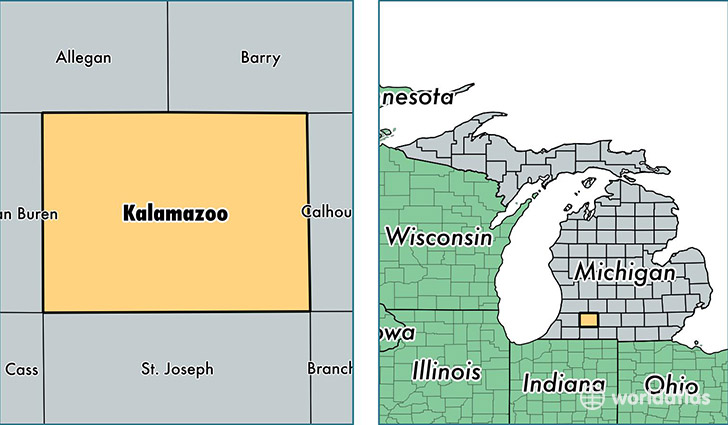
Kalamazoo County is a county equivalent area found in Michigan, USA. The county government of Kalamazoo is found in the county seat of Kalamazoo.
With a total 1,502.96 sq. km of land and water area, Kalamazoo County, Michigan is the 1828th largest county equivalent area in the United States. Home to 258,818 people, Kalamazoo County has a total 109847 households earning 45775 on average per year.
Kalamazoo County, Michigan - Quick Facts
| FIPS Code | 26077 |
| Area Codes | 269 |
| Time Zone | EST |
| Major Cities | Kalamazoo (population: 161,622), Portage (population: 48,140), Vicksburg (population: 10,498), Galesburg (population: 7,147), Richland (population: 7,078), Schoolcraft (population: 6,227), Scotts (population: 3,709), Augusta (population: 3,393), Climax (population: 2,424), Fulton (population: 985) |
| Land Area | 99,930 sq miles |
| Water Area | 562 sq miles |
| Household Income | $45,775 |
| Housing Units | 109,847 |
| Median Home Value | $136,700 |
| High School Grads | 93% of population |
| Holders of Bachelors Degrees | 34% of population |
| Retail Spending | $11,481 per capita |
| Food & Accomodation Sales | $414,648 per capita |
| Universities and Colleges | Kalamazoo College |
This page was last updated on June 30, 2016.