Where is Cass County, Michigan?
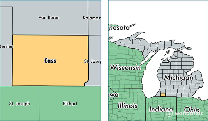
Cass County is a county equivalent area found in Michigan, USA. The county government of Cass is found in the county seat of Cassopolis.
With a total 1,316.54 sq. km of land and water area, Cass County, Michigan is the 2144th largest county equivalent area in the United States. Home to 51,608 people, Cass County has a total 25783 households earning 44346 on average per year.
Cass County, Michigan - Quick Facts
| FIPS Code | 26027 |
| Area Codes | 269 |
| Time Zone | EST |
| Major Cities | Dowagiac (population: 14,781), Edwardsburg (population: 10,161), Cassopolis (population: 7,876), Marcellus (population: 4,507), Vandalia (population: 1,958), Union (population: 1,657), Jones (population: 1,620) |
| Land Area | 19,926 sq miles |
| Water Area | 490 sq miles |
| Household Income | $44,346 |
| Housing Units | 25,783 |
| Median Home Value | $124,800 |
| High School Grads | 87% of population |
| Holders of Bachelors Degrees | 16% of population |
| Retail Spending | $3,623 per capita |
| Food & Accomodation Sales | $27,133 per capita |
This page was last updated on June 30, 2016.